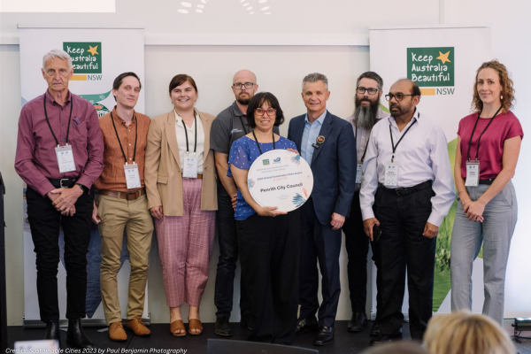
The NSW Government has launched the Live NSW Gravity Model project to provide critical geographic information that will help improve outcomes for state infrastructure projects and the management of natural hazards and resources.
The Live NSW Gravity Model will be conducted in the next 18 months, covering the entirety of the state with a geographic extent of over 800,000 km² in order to deliver a new level of gravity measurement coverage and accuracy.
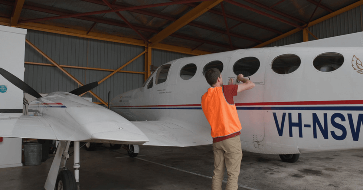
Data for the project will be captured in five stages through the use of an airborne gravity sensor. This will help improve the accuracy of real-world heights from GPS positioning to just a few centimetres.
Acting NSW surveyor-general Thomas Grinter said the project is expected to “provide more accurate data to better manage resources, infrastructure projects and natural hazards”.
The NSW Gravity Model will also “help land managers understand their groundwater stores, allow engineers to identify where major natural hazards may occur and help surveyors measure height”.
“Existing geophysical and geodetic data, which looks at the Earth’s shape, orientation and gravity field, is out of date, incomplete and inconsistent,” Mr Grinter said.
“Much of the data includes a combination of land-based, satellite and airborne gravity data collected across several decades.”
In order to capture the data, an aircraft equipped with the sensor will fly lines in 2+km spacings across the state to measure extremely small variations in the Earth’s natural gravitational pull.
All flying will be above the required height of 300 metres in populous areas, and 160 metres in all other areas, in accordance with Civil Aviation Safety Authority guidelines.
The raw gravity datasets captured through the Live NSW Gravity Model will be delivered through Geoscience Australia’s (GA) online portal and Geological Survey of NSW’s (GSNSW) online mineral viewer – MinView. The data will also be included in the National Geoscience Database and data portals managed by Geoscience Australia and will be licensed for public use.
Eliza is a content producer and editor at Public Spectrum. She is an experienced writer on topics related to the government and to the public, as well as stories that uplift and improve the community.


